Friday, October 2, 2026
, 69°Wind: mph,


Welcome to our new web site!
To give our readers a chance to experience all that our new website has to offer, we have made all content freely avaiable, through October 1, 2018.
During this time, print and digital subscribers will not need to log in to view our stories or e-editions.
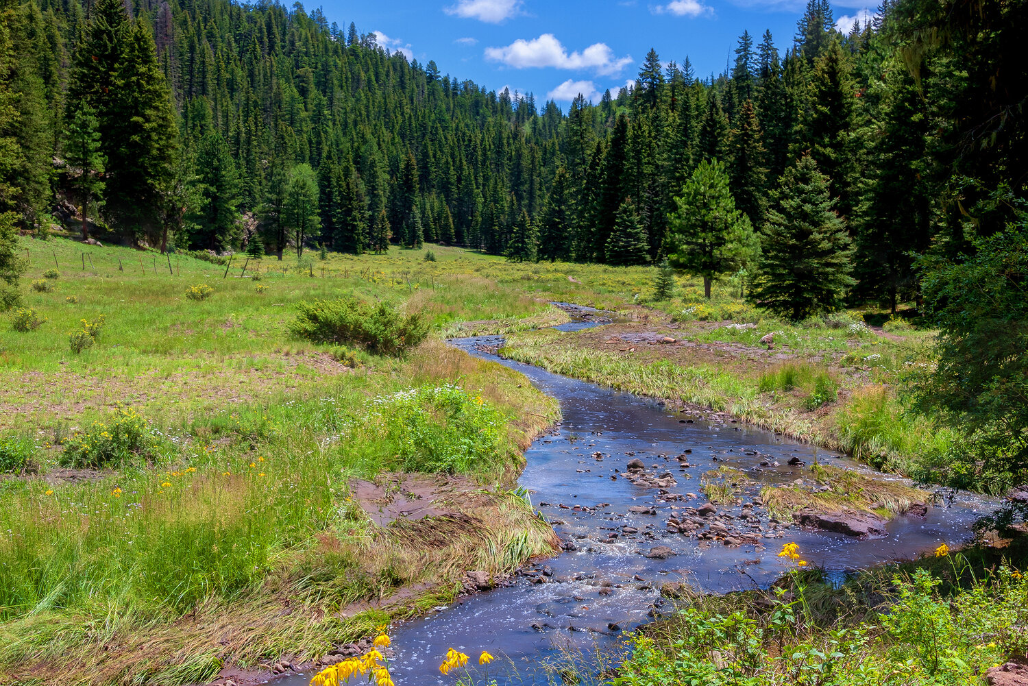
An intense stretch of fire weather is developing across southern New Mexico, where forecasters say drought, gusty winds and dry thunderstorms could increase wildfire danger through much of June.
Meteorologists with AccuWeather say conditions across Doña Ana and Otero counties may allow fires to spread rapidly during periods of strong wind and low humidity, especially as storm systems move across the Rockies in the coming weeks.
“The fire threat is going to be high the next couple of weeks because we have a fairly dry pattern and a pretty windy pattern,” said Chad Merrill, a senior meteorologist with AccuWeather’s long-range forecast team. “We will have these occasional storms move through the Rockies, and that pressure gradient will drive the winds. Combined with low humidity and a lack of rain, there will be an elevated risk for fires across the region.”
Merrill said the primary concern is not necessarily the number of fires that ignite, but how quickly conditions could allow them to spread. Strong winds, low humidity, and dry vegetation can create critical fire conditions, particularly when wind gusts exceed 30 mph.
“The higher the winds can be, combined with the lower relative humidity, is going to generate that fire risk,” Merrill said. “When those winds get above 30 to 35 miles per hour and the fuels are already dry, fires can spread pretty quickly.”
AccuWeather’s 2026 wildfire outlook estimates that between 5.5 million and 8 million acres could burn across the United States this year, with the Southwest and Rockies identified among the nation’s primary wildfire concerns because of heat, drought and below-average snowpack.
Southern New Mexico remains under varying drought conditions, with some parts of the state experiencing moderate to severe drought.
“The majority of the fire risk is due to the long-term drought,” Merrill said.
Forecasters are also monitoring the arrival of monsoon moisture later this summer, which could initially bring dry thunderstorms capable of producing lightning while delivering little rainfall to the ground. Those storms can ignite fires before deeper moisture settles into the region.
“Don’t be fooled by the thunderstorms ending the season,” Merrill said. “The thunderstorms can actually enhance the wildfire season before you actually get enough moisture to bring the rain.”
As summer progresses, meteorologists expect humidity and rainfall to gradually increase across southern New Mexico, aided in part by tropical moisture from the eastern Pacific and a developing El Niño pattern. Merrill said those changes should eventually reduce wildfire danger later in the season, particularly across southern portions of the state.
The arrival of monsoon moisture could also introduce another hazard as wildfire concerns shift toward possible flash flooding in vulnerable areas.
“You can easily go from a high fire risk early in the summer to flash flooding later in the season,” Merrill said.
While northern New Mexico is expected to face the state’s highest wildfire danger deeper into the summer, Merrill said conditions farther south could improve once monsoon patterns strengthen and humidity levels recover.
Until then, meteorologists are urging residents to remain alert during red flag warnings and periods of extreme fire weather. Merrill said residents should prepare emergency plans, avoid leaving campfires unattended and properly dispose of cigarette butts or other ignition sources.
“All it takes is a small little flame,” Merrill said.
The National Weather Service issues red flag warnings when weather conditions become favorable for rapid wildfire growth. Forecasts and wildfire updates are available through the National Weather Service and New Mexico fire officials.


